“Miss the beat, you lose the rhythm, And nothing falls into place” Van Halen, circa 1991, Right Now
Van Halen’s insight about timing and seizing the moment in its song, Right Now, is a great metaphor for the current situation with PNT. As background, the most prevalent source of PNT, Positioning, Navigation, and Timing, is provided by the Global Positioning System (GPS). GPS has become an essential element to much of the infrastructure for the modern economy. A 2013 GAO report (PDF) summarizes the vulnerabilities the U.S. faces with this single-point-failure system (page 1).
“GPS is used extensively in many infrastructure sectors, including most of the 16 sectors identified as critical to the nation’s economy, security, and health—referred to as ‘critical infrastructure sectors.’

Simply, the U.S. economy and quality of life as we know it would collapse if something were to happen to GPS. As Greg Winfree, former Assistant Secretary US Department of Transportation (DOT) Office of Research and Technology, succinctly summarized the importance of ensuring the robustness of GPS,
“We need to ensure that the bullseye is off of GPS.”
The Need for Robust Timing Is Transcendent #
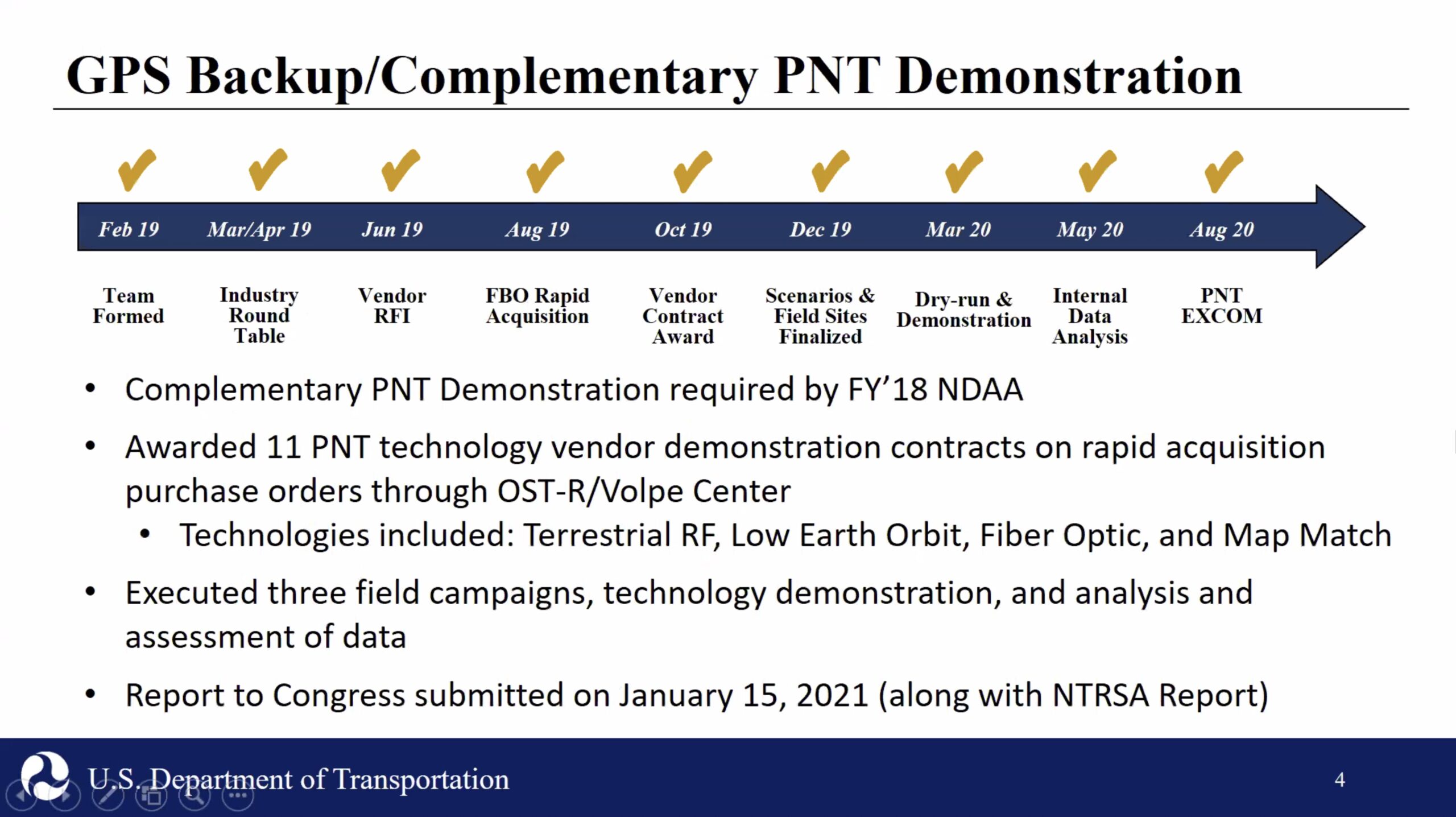
Winfree, now Director of Texas A&M’s Transportation Institute, made his comments at the George Washington University/SPI/IISTP-produced event, What Technologies Can Secure GPS? The basis for this event was the January 2021 US DOT report, Complementary PNT and GPS Backup Technologies Demonstration Report.
Robert Hampshire, the Chief Science Officer for the US Department of Transportation (DOT) and nominee for Assistant Secretary of the Office of Research and Technology, was featured at the event. A Princeton University Ph.D. in Engineering, he provided a high-level review of the report and its importance. He emphasized that robust PNT is necessary for ensuring the safety of transportation. It is the number one priority, and a robust PNT solution is critical in achieving that goal. His comments set the tone for an evidence-based collegial discussion that transcended government silos and political lines.
It was Hampshire’s immediate predecessor, DOT Deputy Assistant Secretary for Research and Technology Diana Furchtgott-Roth, now an adjunct professor at George Washington University, who was credited with accelerating the schedule, according to Karen Van Dyke, the director of the Positioning, Navigation, and Timing Office at DOT.
This became especially fortuitous as the real-world testing was completed in March 2020, just prior to the pandemic’s shutdown. Furchtgott-Roth was focused on complying with congressional legislation to complement and back up GPS, which was stated in three separate laws.
One law, Section 514 of the Frank Lobiondo Coast Guard Authorization Act of 2018, otherwise known as `National Timing Resilience and Security Act of 2018, requires the Department of Transportation to
“Subject to the availability of appropriations, the Secretary of Transportation shall provide for the establishment, sustainment, and operation of a land-based, resilient, and reliable alternative timing system.”
The legislation emphasizes that this system is a complement to and back up of GPS and will be available for both military and civilian users in “the event that GPS timing signals are corrupted, degraded, unreliable, or otherwise unavailable.”
A Portfolio of Alternatives #
Van Dyke provided an overview of the almost two-year DOT-led effort, under the direction of Furchtgott-Roth, to form an inter-agency team, issue RFIs, select vendors, create test plans, and gather and analyze demonstration data. She pointed out that the testing and the vendor selection is,
“Not necessarily exhaustive of all the technologies that might be possible. It does not necessarily exclude other potential approaches.”
The purpose of the multi-agency, government-led demonstration and data collection was to provide an independent and unbiased view of PNT approaches that could complement and backup GPS.
The technology used by the eleven selected vendors included Low Earth Orbit (LEO) satellites, fiber optic-based, unlicensed UHF, 802.11 (WiFi), and eLORAN (90-110 kHz). Only one of the vendors, NextNav, chose to be measured in all the tested scenarios. One of the conclusions of the testing is that a combination of technologies will be necessary to augment the existing GPS in urban, rural, maritime, and subterranean conditions.
Dr. Andrew Hansen, the Acting Director of Air Traffic Systems and Operations of the USDOT’s Volpe National Transportation Systems Center, outlined the testing process. He noted that these complementary PNT technologies were not stress-tested. Still, the results were encouraging as he stated,
“The demonstration results indicate there are suitable and mature private-sector PNT technologies that have the potential to meet a diversity of application-specific needs.”

He points out that the transportation sector has some of the most stringent PNT performance requirements. He cautions that private sector solutions might not meet these needs. Similarly, the private solutions do not have the open specifications and standards that have made GPS successful. Additional work on standards, resiliency and vulnerability testing, and performance monitoring must be developed for these technologies.
Right Now, There’s No Tomorrow #
According to the GPS.gov website, the FY 2021 budget allocates approximately $1.81B between the Department of Defense ($1.798B) and DOT ($83.9M) to the Federal Aviation Administration’s Wide Area Augmentation System (WAAS) for GPS service. No funds were allocated to DOT to complement and back up GPS, as called for by legislation. The DOD has primary responsibility for providing GPS, while the DOT has “lead responsibility for the development of requirements for civil applications from all United States Government civil Departments and Agencies.” However, DOT cannot stress-test new technologies or provide standards for complements without funding..
The civilian GPS service is treated as a public good and is freely available to all users on a worldwide basis. The provision of GPS has improved the quality of life for Americans immeasurably. Turn-by-turn navigation pioneer, Alain Kornhauser, suggests one of many examples of a group that benefited from GPS,
“GPS & turn-by-turn Nav was most valuable (most improved-quality-of-life) to those who tended to ‘never go anywhere’! GPS/Nav alleviated the anxiety and fear that they had about ‘not being able to find the place that they wanted to go to and/or not being able to find their way home, getting lost’, … so they stayed home! GPS/Nav liberated them from these fears/anxieties!!!”
Like Kornhauser’s example, citizens benefit from GPS in ways that are not obvious. One example of a non-obvious benefit is outlined in Furchtgott-Roth’s recent RealClear Science article on how climate scientists use GPS’s invisible signals to more accurately measure climate change. In another article, Clear and Present Economic Danger, Furchtgott-Roth presents a clear picture of the infrastructure that benefit from GPS and, as a result, are vulnerable to hacking and interference to GPS, including,
- Defense and national security
- Aviation
- Road transportation
- Rail and maritime
- Infrastructure (including precision agriculture, electric plants & Mobile networks & Fixed Wireless Networks
Furchtgott-Roth’s view is that the next step is to turn the Volpe-led testing into a production backup for GPS. She estimates this would require Congressional appropriations of approximately $100M annually, or about $0.30 per citizen, to create a GPS alternative. This is essentially an insurance plan to protect against local or worldwide GPS spoofing or outages. Paraphrasing, both Furchtgott-Roth and the previously mentioned Van Halen song, the time to start implementing this insurance plan is Right Now.
Author’s Note – The 2020 Video Version of Right Now Couldn’t Have Been Made in 1991
The author stumbled upon this version of Right Now, which features two Van Halen alumni filmed during the pandemic shutdown. A superficial view of this video might suggest that the production quality is no match for the original 1992 MTV Video of the Year award winner. On closer examination, it is clear that this video couldn’t have been made in 1992 as the underlying technology wasn’t available at that time.
For instance, it appears that each musician was filmed at their respective homes (not an easy or inexpensive thing to do in the early 1990s). In 1991, the expense to digitize the analog video into the production quality seen above would have been prohibitively expensive. Of course, broadband pipes to residences weren’t available then, so it wouldn’t have been possible to electronically transport the video (physical transport of tapes would have been required).
The other amazing thing about the above video is the synchronization of the various instruments. That the musicians aren’t missing a beat to a song about not missing a beat is truly amazing. It also probably speaks to the unsung role that GPS played in making this song happen. From the Smartphone that lead singer Sammy Hagar is using to the communications network required to connect the musicians, GPS probably served a hidden role in helping put together the recording of this timeless song.
Leave a Reply